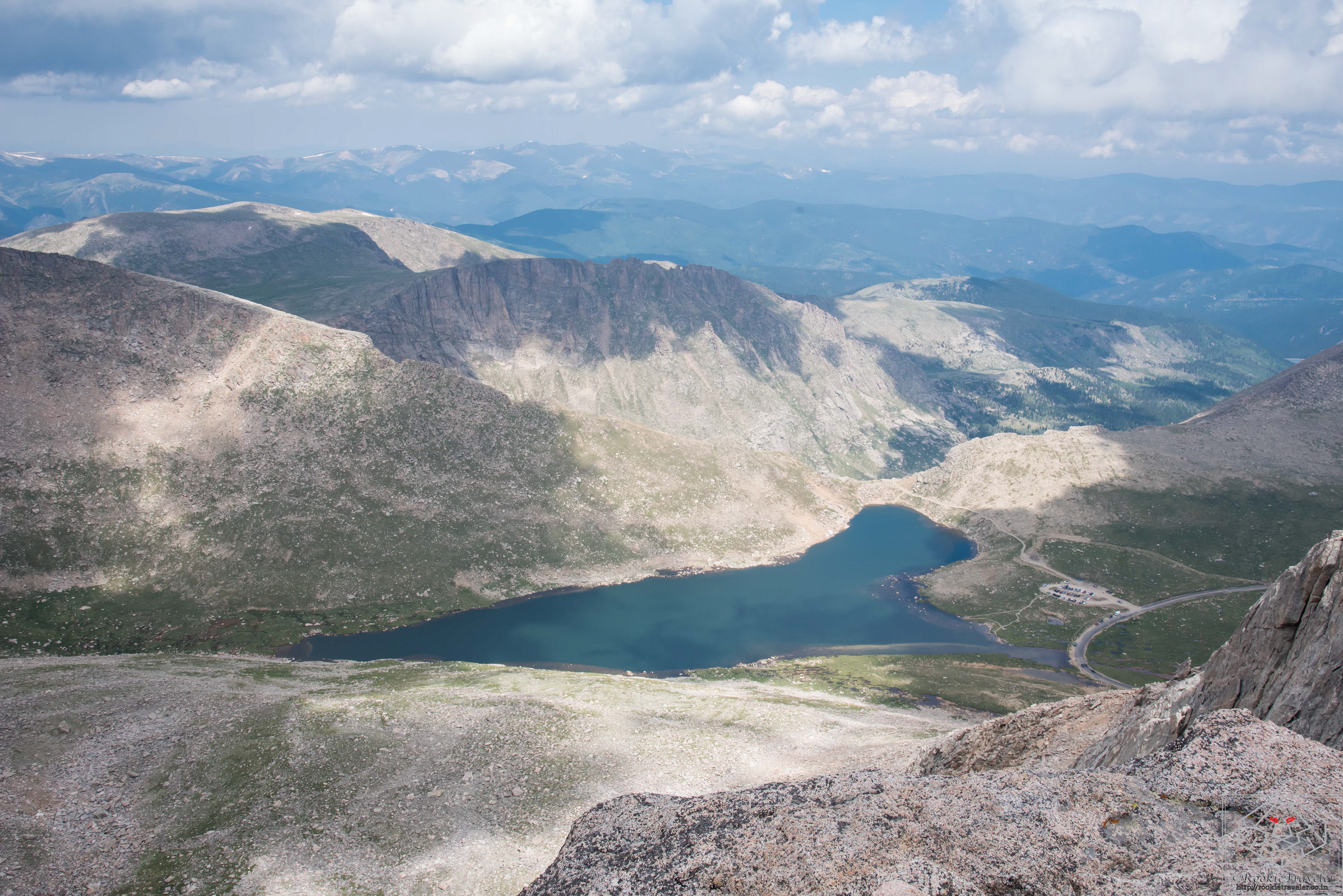
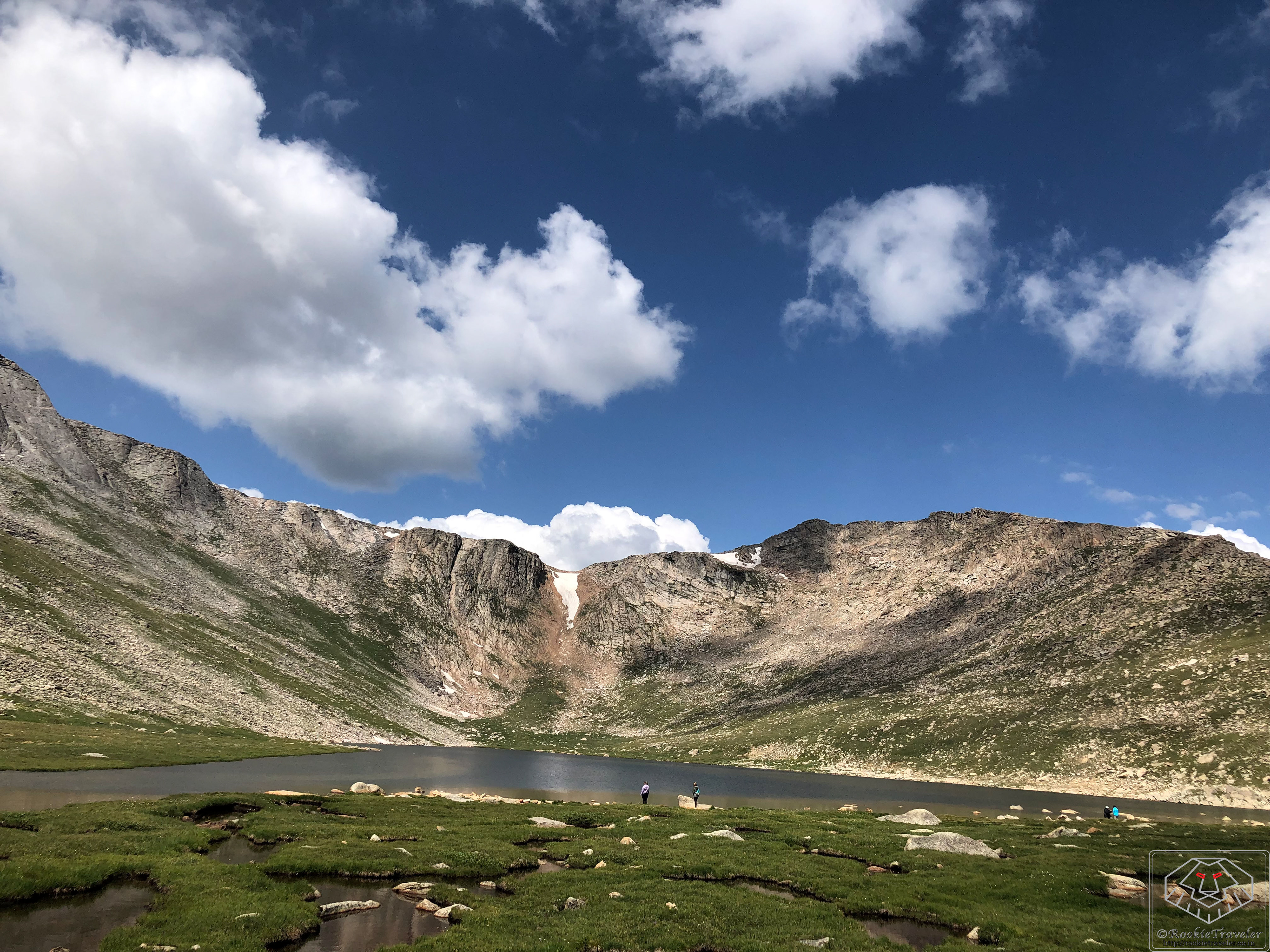
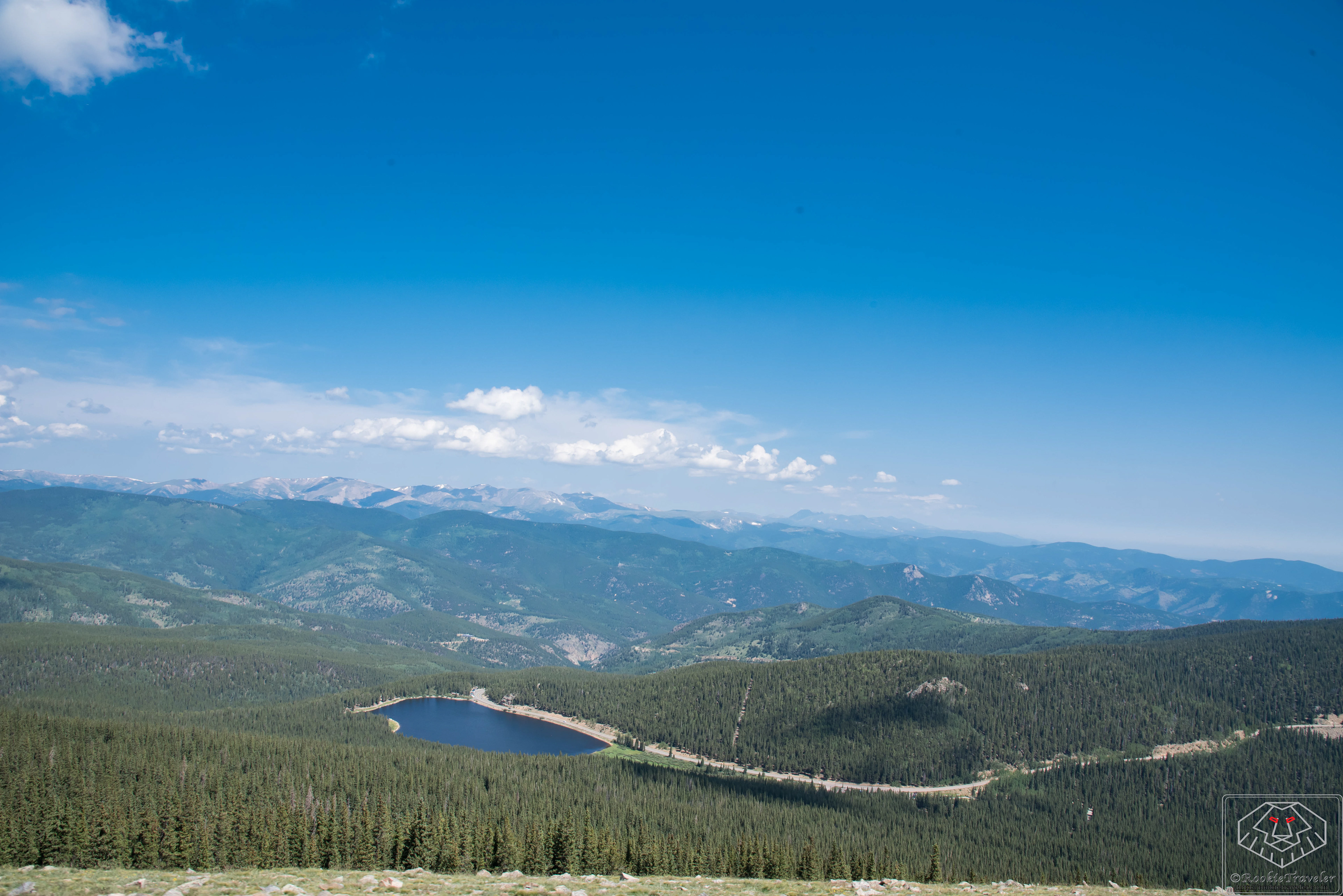
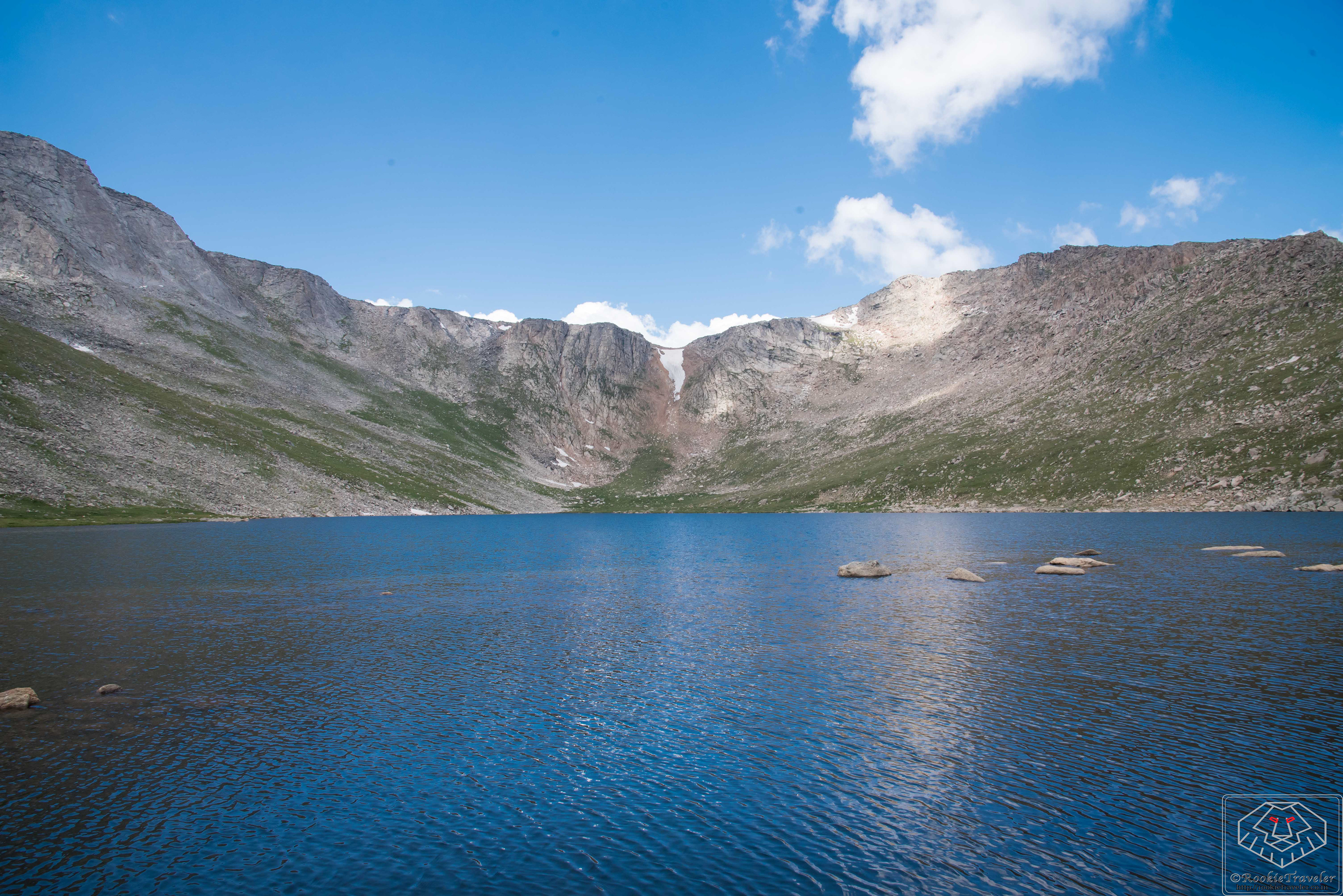
Summit Lake - Must visit spot
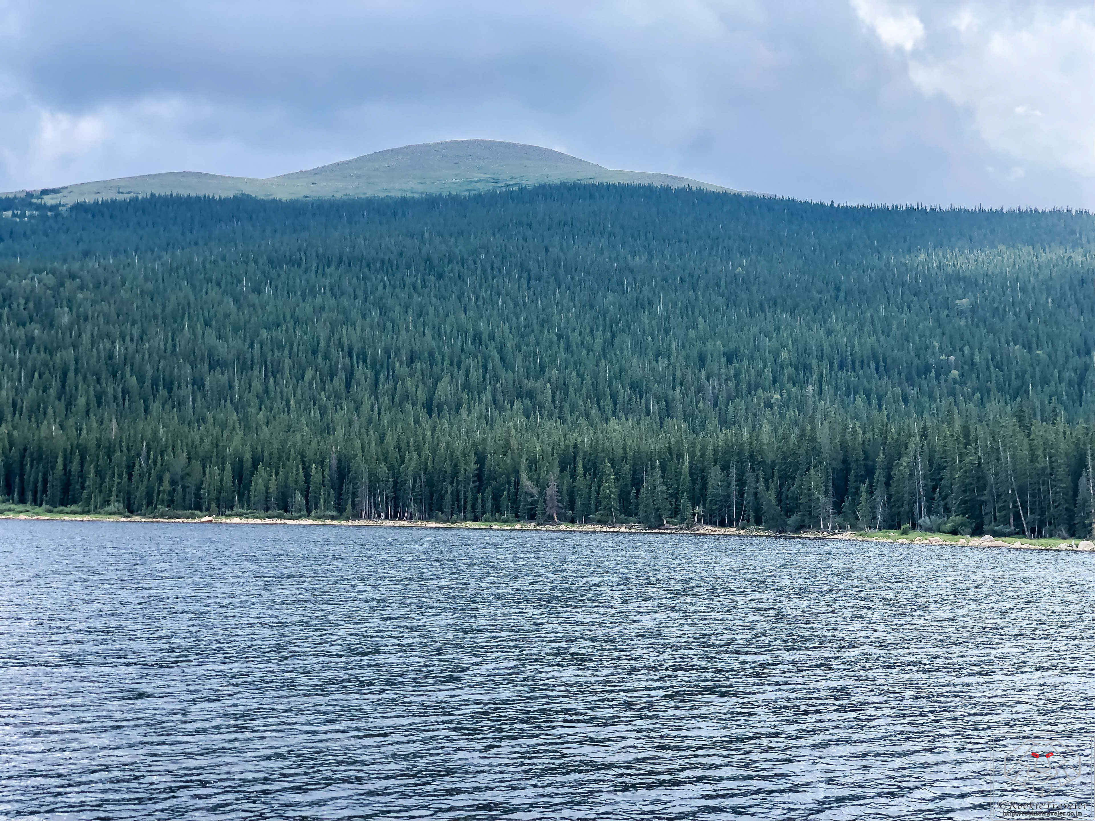
Echo Lake - Near entrance
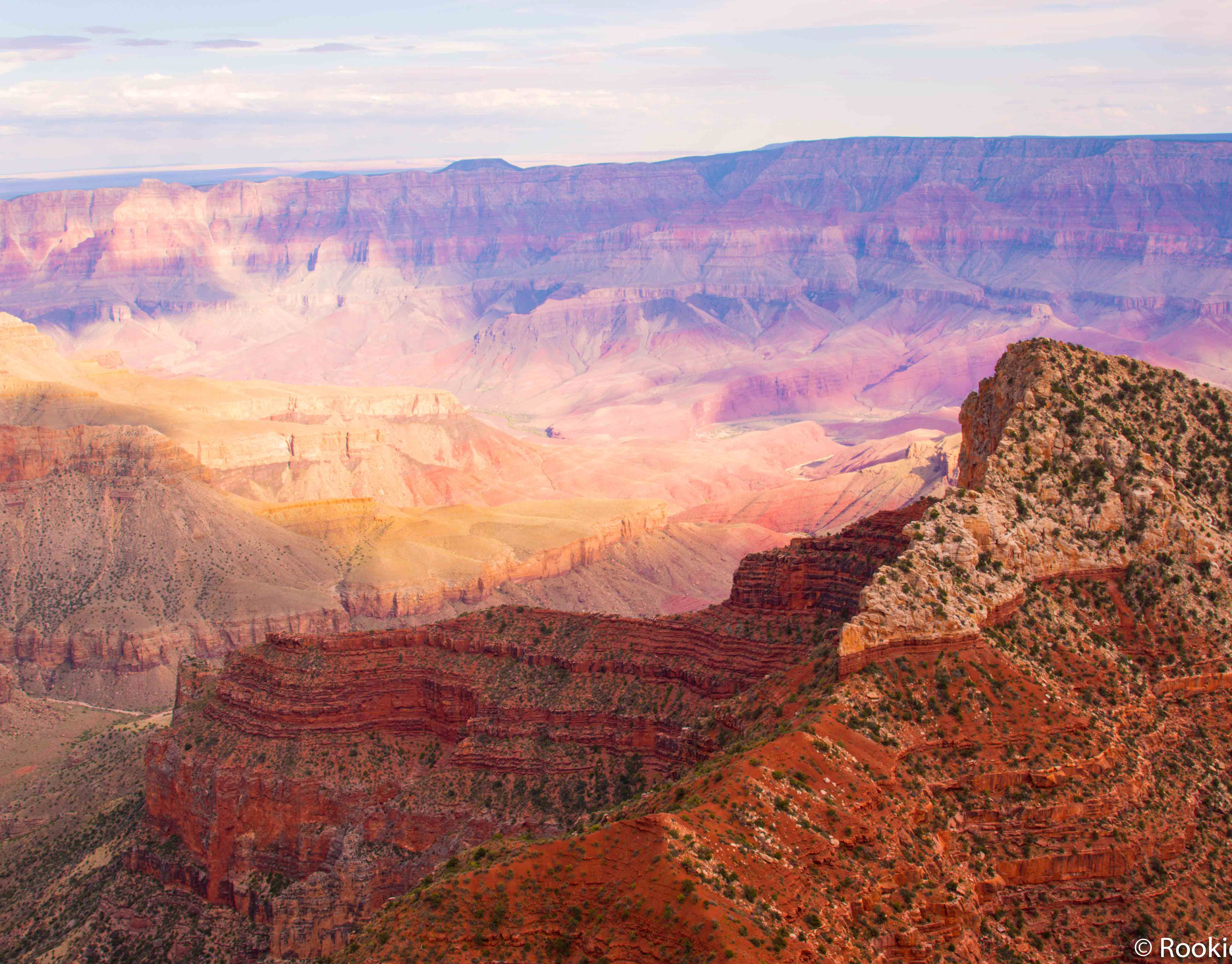
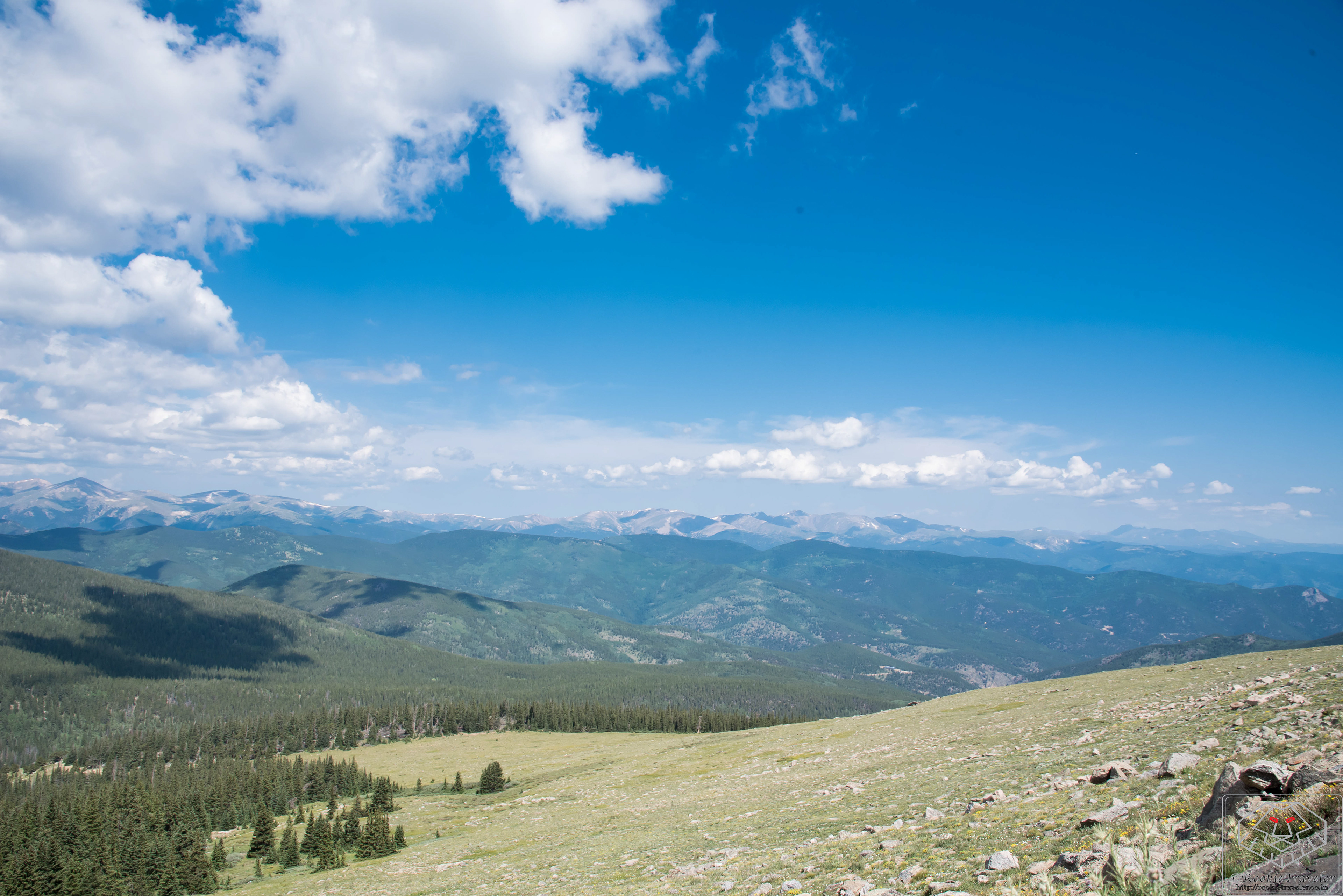
View while driving
View while driving
View while driving
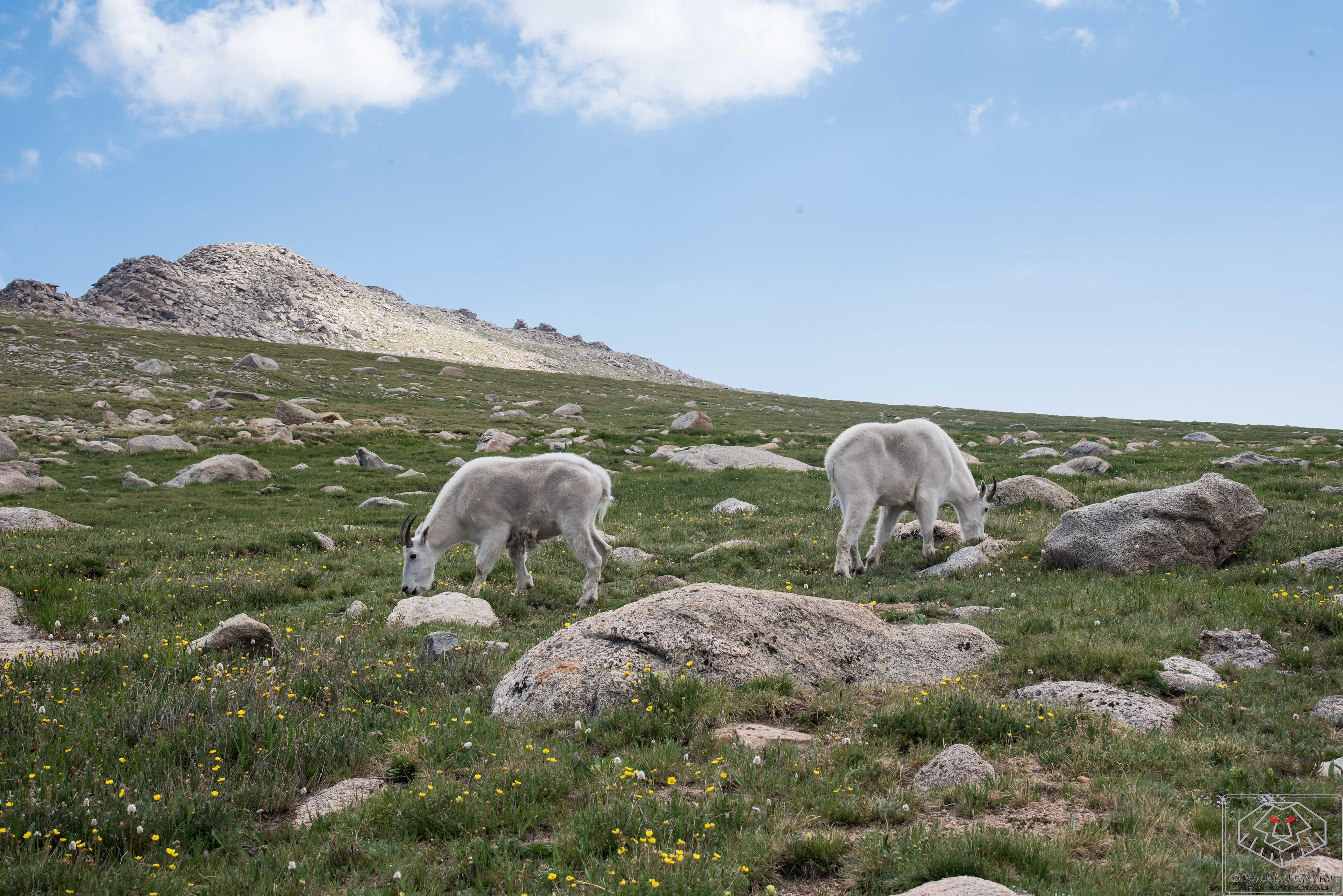
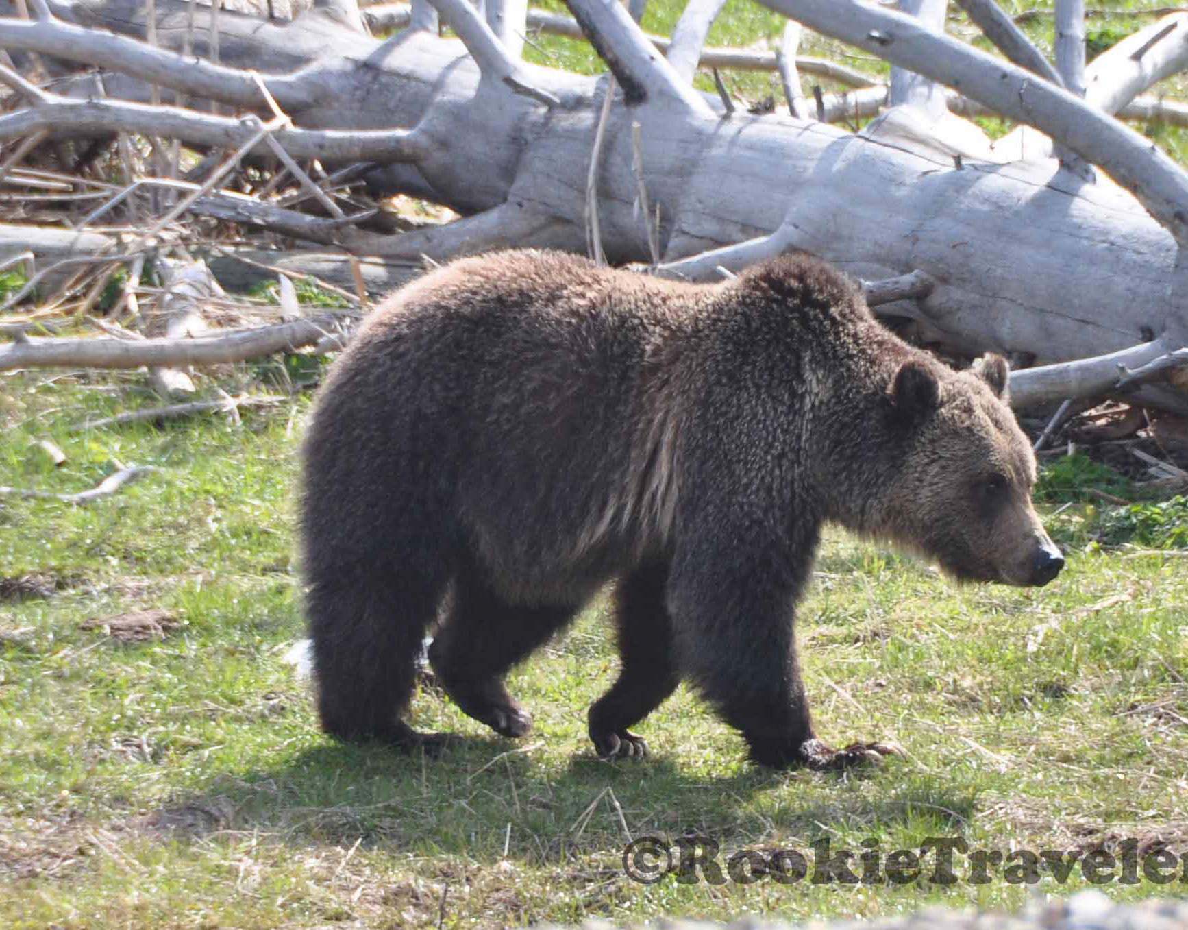
Mount Goats - camera friendly
Summit Lake
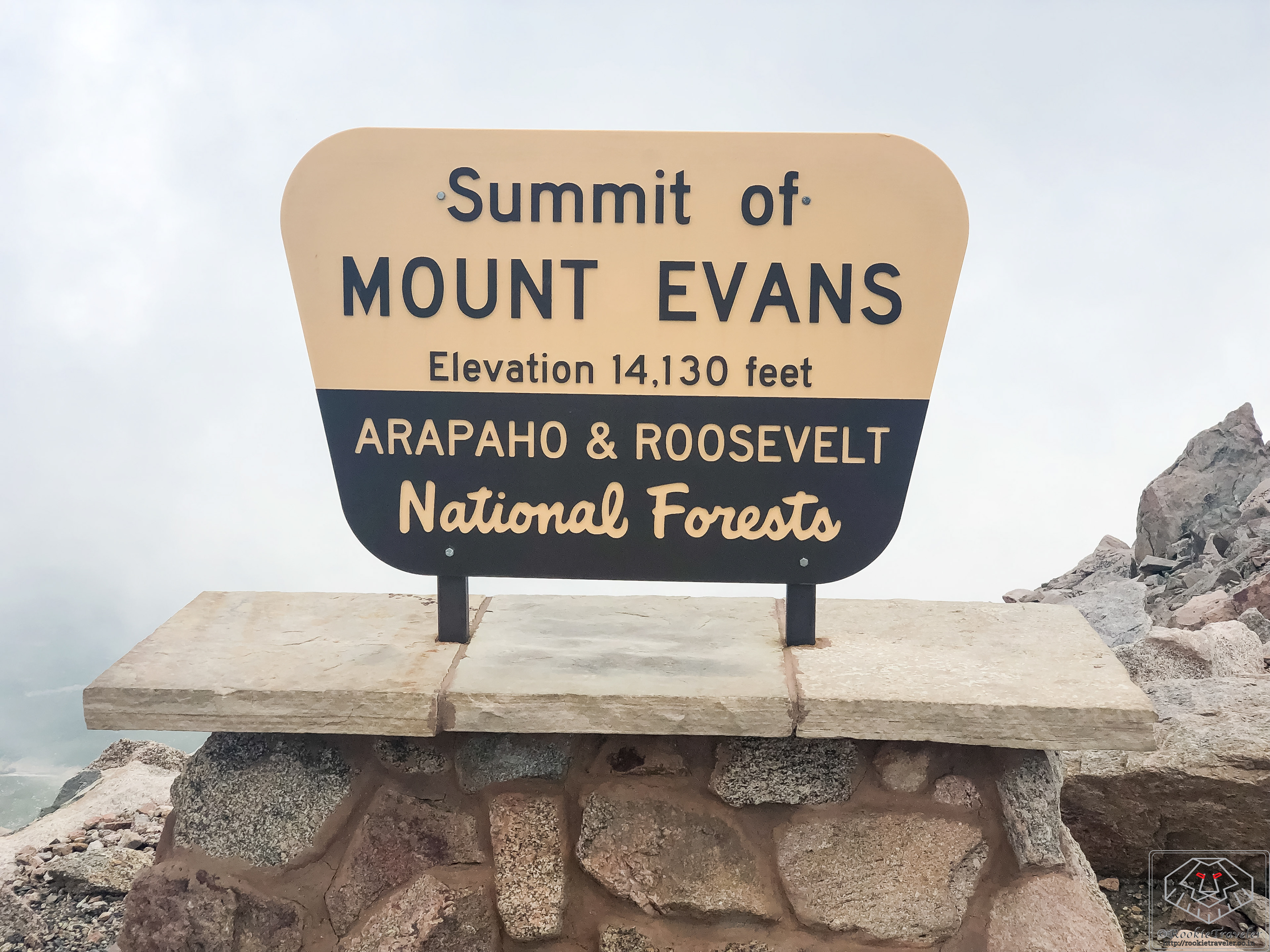
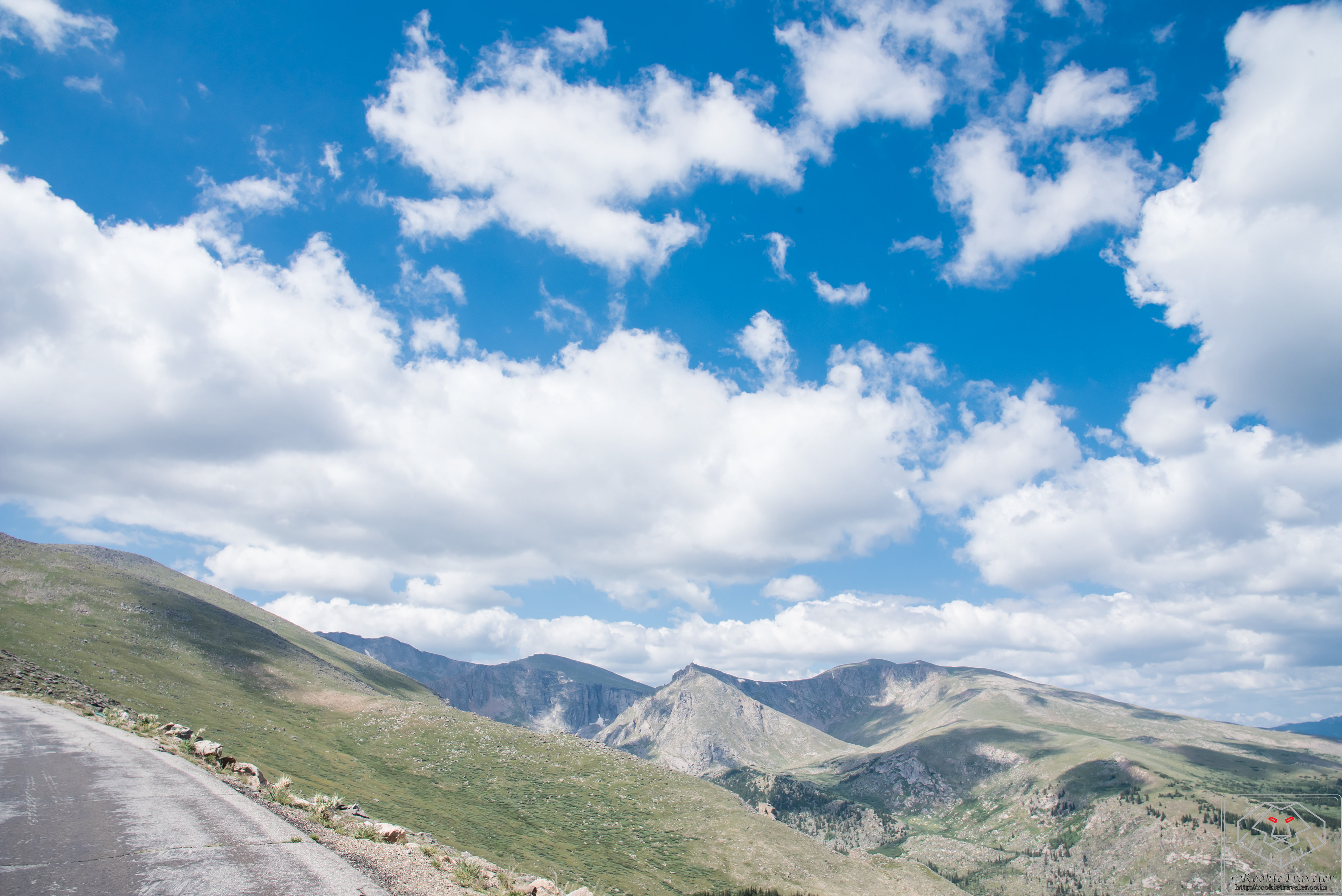
Summit Point

View after hiking 200 feet from Summit